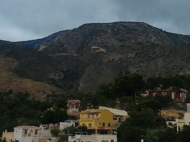
Hiking: Aigües – Bussot
Hiking: Aigües – Bussot
Distance 8 km and difficulty low
Departure from the information panel (start C / Dr. Sapena) following the path of the Spa. When you arrive take the road on the left direction Ermita, we surround it and we reach the first signpost. From there we overlap our route with PR-CV 243 until we reach the Barranc del Salmitre. We continue along the track until the Barranc del Cabrafit. We continue to Collada la Castellana. Following the indications we come to the junction with the PR-CV 2. Leave this trail to the right and continue to the junction with the Caves of Canelobre. We left this post and headed to Busot. Final in the information panel of the House of Culture.